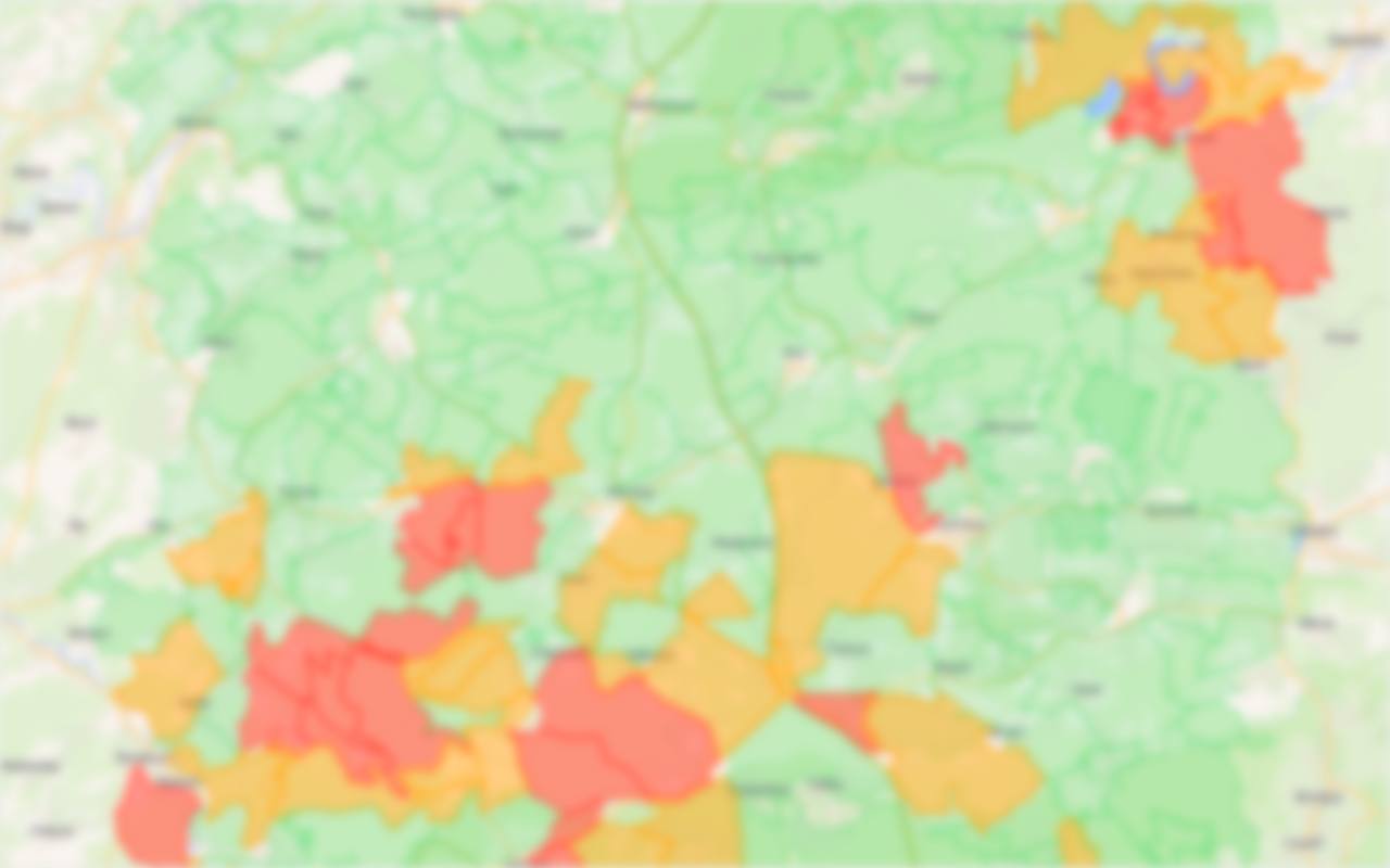
Today’s hunt map
Red: hunt today. Orange: within 48 hours. Green: no hunt declared. Today and tomorrow, for free.
Current season · official SPW data
Chasses.be shows the hunting territories in Wallonia where a driven hunt is declared today, and alerts you the moment you enter an active area, even with your phone in your pocket.
Free, no account, no sign-up. Available on iPhone and Android.
Red for today’s hunts, orange for those in the next 48 hours. Pick your route accordingly.
If you walk into an area with an ongoing hunt, your phone rings and vibrates, even when locked.
In autumn and winter, driven hunts take place almost every day in Walloon forests. The dates are declared to the authorities, but the signs only appear at the edge of the woods. Chasses.be puts that public information in your pocket, right when you need it.
Change your route before you leave rather than turning back at a sign.
A clear, immediate alert if you cross into a territory with an ongoing hunt.
Fewer walkers surprised in the drive means a safer hunt for everyone.
Built for walkers, joggers, trail runners, mountain bikers, horse riders and mushroom pickers.
Red: hunt today. Orange: within 48 hours. Green: no hunt declared. Today and tomorrow, for free.
High-priority notification, strong vibration and emergency screen as soon as you enter an active territory.
An arrow points to the nearest way out of the hunting zone, with the distance. One-tap 112 call.
Shots heard, occupied high seat, temporary sign, wildlife: two taps, with a photo.
Plan your weekend or your Ardennes holiday knowing which hunts are coming up.
Get warned 250 m, 500 m or 1 km before a hunting area, before you even step in.
Zone checks run on your device. We never store your routes; only the position of a report you choose to send is transmitted.
Everything that protects you out there stays free, forever.
€0
€2.99 / month
or €19.99 / year (−44%)
No commitment, cancel anytime in your Apple or Google account. Promo codes accepted.
In the Chasses.be app, free on iPhone and Android. The map shows territories with a driven hunt today in red, those with a hunt within 48 hours in orange, and those with no declared hunt in green.
No. Chasse On Web is the official SPW portal where hunt dates are published. Chasses.be is an independent app that turns this public data into something usable outdoors: a map on your phone, an alert when you enter an active zone and a compass to get out.
From the hunt declarations published on Chasse On Web and as open data by the Walloon Public Service (SPW, Department of Nature and Forests). They are synced every night and complemented by user reports.
Because it is most useful out in the field: the app shows where you are, works offline and alerts you in the background when you enter an active area. A web page can’t do that.
Yes. Today’s and tomorrow’s map, the zone alert, the emergency screen and reports are free and ad-free. Chasses.be+ (€2.99 per month or €19.99 per year, 7-day free trial) adds 60-day planning, the approach alert and hunt-type filters.
Your phone compares your position with the territories where a hunt is under way, right on the device. If you enter an active area, you get a high-priority notification, a vibration and an emergency screen. Just allow “Always” location access and notifications.
No. Zone checks run on your phone and no routes are stored. Only the position of a report you choose to send is transmitted.
No, the information is indicative: a declaration may be late or incomplete. Always follow on-site signs and instructions from the authorities. In an emergency, call 112.
Install Chasses.be for free and check today’s hunts before your next outing.
Scan with your phone to install the app.